
Indonesia Faces Contradictory Weather Patterns: Localized Rain Amidst Predominantly Dry Conditions Predicted for Late July 2026

Jakarta, Indonesia – The archipelago nation of Indonesia is bracing for a complex weather scenario in late July 2026, with the national meteorological agency forecasting a dominant pattern of low rainfall across most regions, yet simultaneously warning of localized moderate to heavy precipitation in several key areas today, Wednesday, July 22. This seemingly contradictory outlook underscores the intricate atmospheric dynamics influencing Indonesia’s climate, particularly during what is typically considered the dry season.
The Meteorology, Climatology, and Geophysics Agency (BMKG), Indonesia’s authoritative body for weather and climate information, has issued a detailed forecast indicating that while a significant portion of the country will experience relatively dry conditions over the upcoming week, specific meteorological phenomena are expected to trigger rainfall in select provinces. This dual prognosis necessitates heightened vigilance from both authorities and the public, as it presents challenges ranging from drought mitigation in some areas to flash flood preparedness in others.
BMKG’s Comprehensive Outlook for Dasarian III July 2026
The BMKG’s analysis for Dasarian III (the third ten-day period) of July 2026 paints a picture of prevailing aridity. A "Dasarian" is a meteorological term frequently used in Indonesia and other tropical regions to denote a ten-day interval, providing a granular view for agricultural planning and water resource management. According to BMKG’s projections, approximately 76.54 percent of Indonesian territory is anticipated to receive low rainfall during this period. A moderate rainfall category is predicted for about 23.36 percent of the country, while a mere 0.09 percent is expected to fall under the high rainfall category. This statistical breakdown highlights a significant tilt towards drier conditions as Indonesia progresses deeper into its traditional dry season.
The dry conditions are primarily expected to encompass vast stretches of Sumatra, Java, Bali, Nusa Tenggara, Kalimantan, Sulawesi, Maluku, and certain parts of Papua. These regions typically experience reduced precipitation from June to September, making the current forecast largely consistent with seasonal norms. However, the agency’s nuanced prediction emphasizes that "although the dry weather pattern is predicted to be more dominant, rain with varying intensities still has the potential to occur locally in several regions of Indonesia." This crucial caveat underscores the dynamic nature of tropical weather systems and the localized impacts of global atmospheric forces.
The Science Behind Localized Rainfall: Unpacking Atmospheric Drivers
The BMKG attributes the potential for localized rainfall, despite the overarching dry forecast, to the interplay of several significant atmospheric and oceanic phenomena. Understanding these complex mechanisms is vital for comprehending Indonesia’s unique weather patterns.
Madden-Julian Oscillation (MJO): One of the primary drivers identified is the Madden-Julian Oscillation (MJO). The MJO is the largest source of intra-seasonal variability in the tropical atmosphere, characterized by an eastward-propagating disturbance of clouds, rainfall, winds, and pressure that traverses the globe in the tropical belt in 30-60 days. Its activity is typically divided into eight phases, each associated with specific weather impacts. When the MJO enters the southern part of Indonesia, as predicted, it often enhances convective activity, leading to increased cloud formation and rainfall. This particular phase is known to bring a surge of moisture and instability, temporarily overriding regional dry patterns. The MJO’s influence is significant for predicting tropical cyclone formation, monsoon breaks, and extreme weather events globally, and its presence in the Indonesian region is a critical factor for local meteorologists.
Equatorial Rossby Waves: In addition to the MJO, Equatorial Rossby Waves are predicted to traverse parts of Sumatra and Kalimantan. These are large-scale atmospheric waves that propagate westward in the tropics and are known to modulate convective activity. When Rossby waves pass through a region, they can create areas of atmospheric convergence and divergence, which in turn can either suppress or enhance the development of rain-bearing clouds. In this instance, their predicted trajectory is expected to boost convective activity, facilitating the formation of thunderstorms and precipitation over the affected islands. These waves are a fundamental component of the general circulation of the tropical atmosphere, playing a role in the variability of the monsoon and other weather systems.
Kelvin Waves: Complementing the influence of Rossby waves, Kelvin Waves are also anticipated to remain active over certain areas of Kalimantan and Sulawesi. Unlike Rossby waves, Kelvin waves are eastward-propagating disturbances trapped to the equator, characterized by their symmetrical structure with respect to the equator. They play a significant role in triggering and organizing convection in the tropical atmosphere. Their presence typically leads to upward motion of air, which cools, condenses, and forms clouds, resulting in rainfall. The combined effect of Rossby and Kelvin waves creates a complex yet conducive environment for localized rain showers, even when the broader atmospheric conditions favor dryness.
Cyclonic Circulation and Sea Surface Temperatures: Further complicating the weather picture is the projected strengthening of a cyclonic circulation in the Pacific Ocean north of Papua. A cyclonic circulation is an atmospheric system characterized by a low-pressure area where winds spiral inward and upward. As this circulation intensifies, it is expected to draw a significant mass of air from western Indonesia towards the east. This large-scale movement of air can lead to the formation of "shear lines" or "wind deceleration zones" – areas where winds from different directions or speeds converge. Such convergence forces air upwards, a process crucial for the formation of towering cumulonimbus clouds that produce heavy rainfall.
Concurrently, the BMKG highlights that sea surface temperatures (SSTs) in the region remain "sufficiently warm." Warm SSTs are a critical ingredient for tropical rainfall. When ocean waters are warm, more moisture evaporates into the atmosphere, increasing the overall humidity. This additional moisture provides the fuel for convective systems, making it easier for clouds to form and grow, especially in areas influenced by the atmospheric waves and circulation patterns described above. The synergy between warm SSTs and the dynamic atmospheric disturbances creates a fertile ground for localized rain events, even if the general large-scale atmospheric patterns indicate drier conditions.
Immediate Forecast: Regions Under Watch for Rain and Wind on July 22
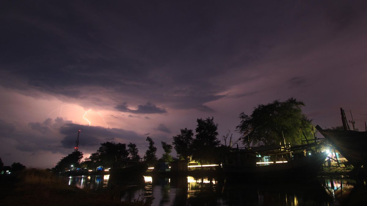
For Wednesday, July 22, the BMKG has specifically identified several provinces where residents should anticipate rainfall, ranging from moderate to potentially heavy intensity. These regions include:
- West Sumatra
- North Sumatra
- Riau
- Riau Islands
- Jambi
- South Sumatra
- Bangka Belitung Islands
- Bengkulu
- East Java
- Bali
- West Kalimantan
- Central Kalimantan
- East Kalimantan
- North Kalimantan
- North Sulawesi
- Central Sulawesi
- Highland Papua
In addition to rainfall, certain areas are also advised to be wary of potential strong winds, which can accompany intense localized weather events and pose risks to infrastructure and public safety. These provinces include:
- Aceh
- Banten
- Bengkulu
- West Java
- East Java
- Bangka Belitung Islands
- Lampung
- North Maluku
- East Nusa Tenggara
- West Nusa Tenggara
- South Sulawesi
Broader Implications: Agriculture, Water Resources, and Disaster Preparedness
The BMKG’s forecast of predominantly dry conditions interspersed with localized rain carries significant implications across various sectors in Indonesia.
Agriculture: For Indonesia’s vast agricultural sector, particularly its staple rice production, the forecast presents a complex challenge. Farmers in regions expecting low rainfall will need to carefully manage water resources, potentially delaying planting or adapting to drought-resistant crops. Conversely, areas anticipating localized heavy rains might face issues of flash floods, which can damage crops, erode soil, and disrupt planting schedules. The variability in rainfall makes precise agricultural planning difficult, underscoring the need for timely and accurate localized forecasts from BMKG. The dry conditions could also increase the risk of forest and land fires, a perennial concern in Indonesia, especially in peatland areas, with significant environmental and health consequences.
Water Resources: The overall dry trend for Dasarian III July 2026 suggests potential strain on water reservoirs and groundwater levels, particularly in densely populated islands like Java and Bali, and in regions prone to water scarcity during the dry season. This could affect access to clean water for consumption and sanitation, and impact hydroelectric power generation. Water management authorities will need to implement conservation measures and monitor supplies closely. However, localized heavy rains, while welcome in some dry areas, can also lead to rapid runoff, contributing little to long-term water storage if not properly managed, and potentially causing temporary flooding.
Disaster Preparedness: The contrasting weather predictions necessitate a multifaceted approach to disaster preparedness. The National Agency for Disaster Management (BNPB) and local disaster management agencies (BPBDs) must remain vigilant for both drought-related hazards and hydrometeorological disasters. In dry regions, the risk of forest fires, exacerbated by human activities and prolonged dry spells, demands enhanced monitoring and rapid response capabilities. In areas predicted to receive localized heavy rainfall, the potential for flash floods, riverine flooding, and landslides, especially in hilly or deforested terrains, requires pre-emptive evacuation plans, infrastructure checks, and public awareness campaigns. The BMKG’s warnings about strong winds also highlight the need for securing infrastructure and advising maritime activities.
Expert Commentary and Public Advisories
In light of these forecasts, BMKG officials have consistently emphasized the importance of public awareness and preparedness. "While we expect a drier pattern to dominate, the atmospheric dynamics indicate that localized rain events are a distinct possibility," stated a BMKG spokesperson, underscoring the agency’s commitment to providing granular, up-to-date information. "We urge the public, especially those residing in areas identified for potential rain and strong winds, to remain vigilant, monitor official weather updates, and take necessary precautions."
Local disaster management bodies are expected to issue advisories tailored to their specific regional risks. For instance, in areas prone to landslides like parts of Sumatra and Sulawesi, residents in vulnerable zones may be advised to be alert to changes in soil conditions and water flow. Farmers in regions expecting dryness might be encouraged to explore water-saving irrigation techniques or adjust their planting schedules.
Long-term Climate Context and Future Monitoring
Indonesia’s position straddling the equator and its vast maritime territory make it exceptionally sensitive to global climate patterns and oscillations. The MJO, Rossby waves, and Kelvin waves are natural phenomena, but their intensity, frequency, and interaction can be influenced by broader climate change trends. While the current forecast is for July 2026, the long-term implications of changing climate patterns, such as shifts in monsoon timing or intensity, and changes in sea surface temperatures, continue to be a subject of intense scientific study.
The BMKG’s continuous monitoring and sophisticated forecasting models are crucial for helping Indonesia adapt to these evolving climate realities. The detailed breakdown for Dasarian III July 2026 and the immediate daily forecast serve as critical tools for policymakers, disaster managers, and the general public to make informed decisions, mitigate risks, and build resilience against the complex and ever-changing face of tropical weather. As the nation navigates these contradictory weather patterns, vigilance and adherence to official advisories will be paramount in safeguarding lives and livelihoods.
Related posts: